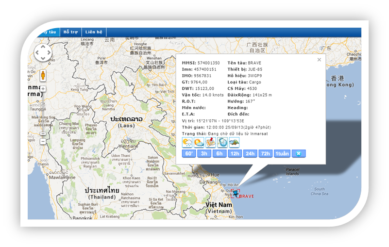
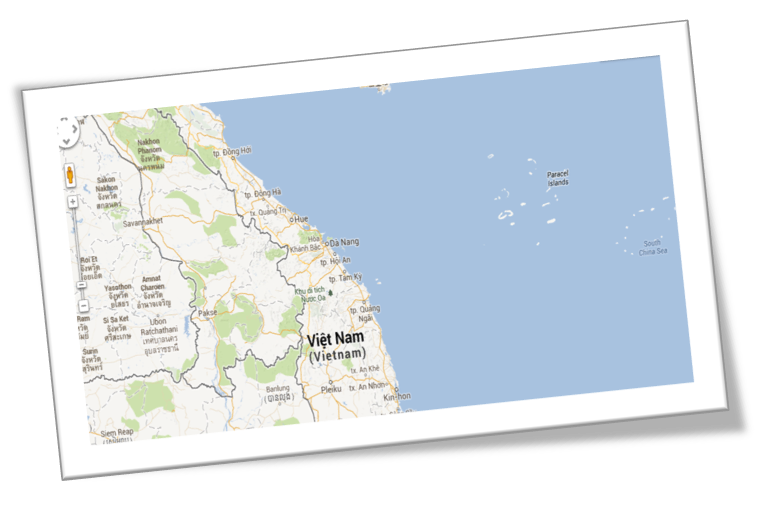
Satellite vessel tracking Service through the Inmarsat allows monitoring information, location, and itineraries of vessels travelling around the global.
Service features:
- Search fleet information on electronic maps (ship name, MMSI, call sign, IMO, ship type, location, speed, draft, direction, bow, destination, ETA, time, etc.).
- Integrate AIS data.
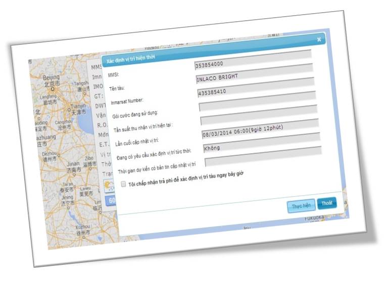
- Send polls to determine immediate location.
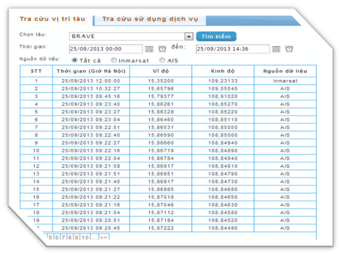
- Track ship itineraries.
- Find ship location by time.
- Look up information of the package under use.
- Look up location data, polls to determine immediate location.
- Export data to CSV file.
- Admin account with a function of decentralizing permissions to regular accounts.
- Use the service on the website interface and on software installed on mobile devices running IOS and Android operating systems.
Service package:
|
Service package
|
Data frequency
|
|
Eco package
|
2 times/day
|
|
Standard package
|
4 times/day
|
|
Medium package
|
8 times/day
|
|
Large package
|
24 times/day
|
|
Max package
|
96 times/day
|
|

Displaying ship information
|

Tracking and plotting ship journeys over time
|
|

Data statistics, rendering
|

Sending polls to determine current location
|
Characteristics of the service:
- Monitor ships anytime, anywhere.
- Ship information is highly accurate.
- Friendly service usage interface.
- Simple and convenient for using the service.
- Use the Ship Management service application installed on IOS and Android mobile devices.
- The service is compatible with Inmarsat C/mini C, SSAS devices (according to LRIT standards) equipped on ships.
Benefits when using the service:
- Remotely monitor the ship's itinerary and position on a global scale with high accuracy.
- The service is integrated with AIS data in Vietnamese waters to quickly update ship data.
- Save management costs. Flexible in ship monitoring anytime, anywhere.
Contact VISHIPEL Customer Service Points for support.